Navigate Smarter

Avoid Danger

Arrive Safer

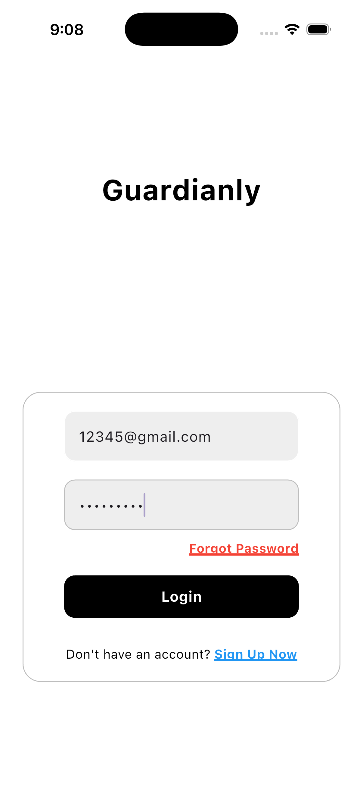
Guardianly is a mobile navigation safety app that delivers real-time hazard alerts, safer alternate routes, and personalized safety guidance for commuters, travelers, and at-risk individuals.

Guardianly Login Screen
Guardianly Map View
Guardianly Map Legend
Guardianly Alerts
Guardianly AI Analysis
Guardianly Account Settings
Guardianly Saved Alerts
Guardianly Privacy Settings
Guardianly Policies
Guardianly Profile Menu
Guardianly Address Search
Guardianly Directions
Guardianly Route Results Map
Guardianly Turn by Turn
Guardianly Sign Up

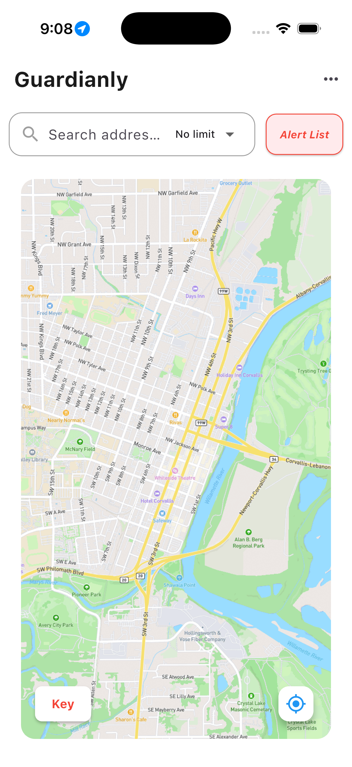
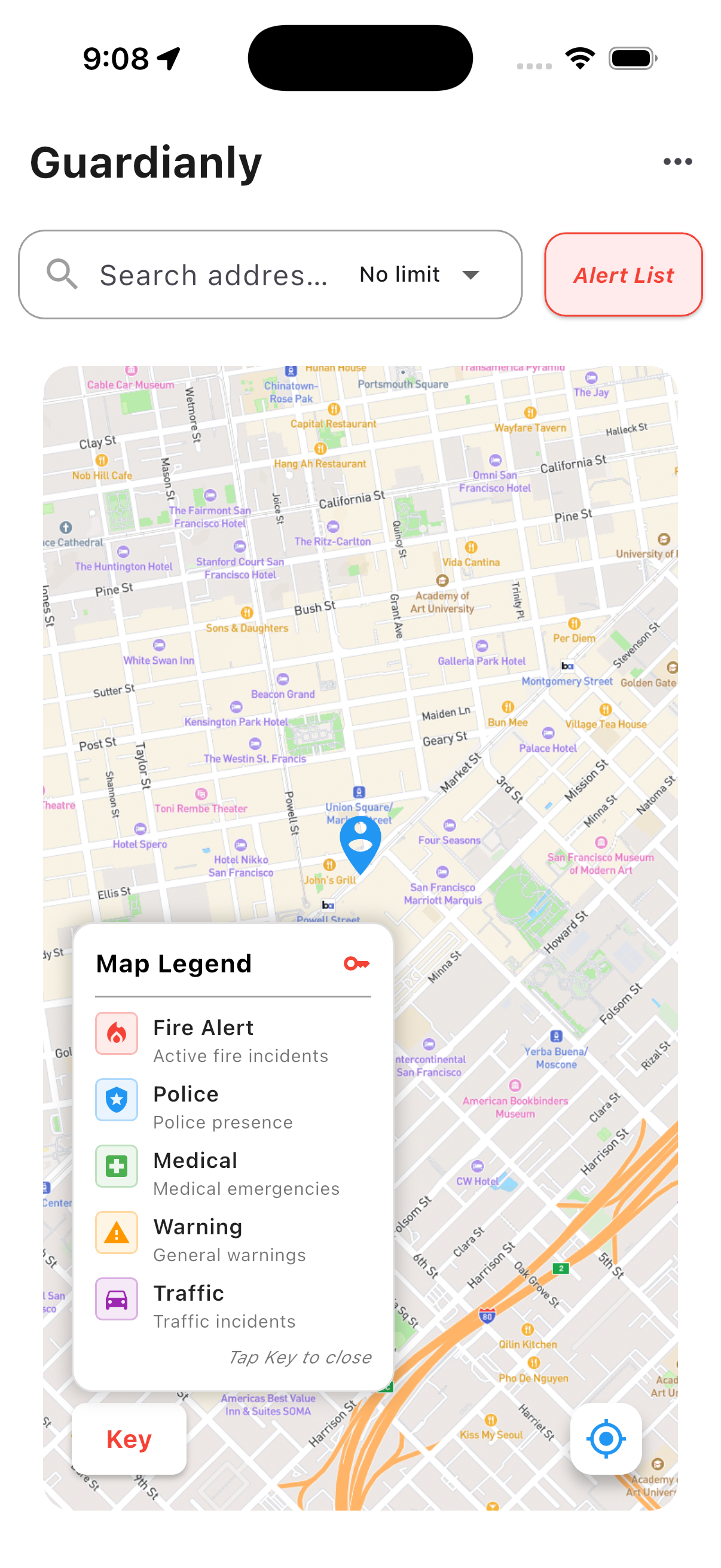
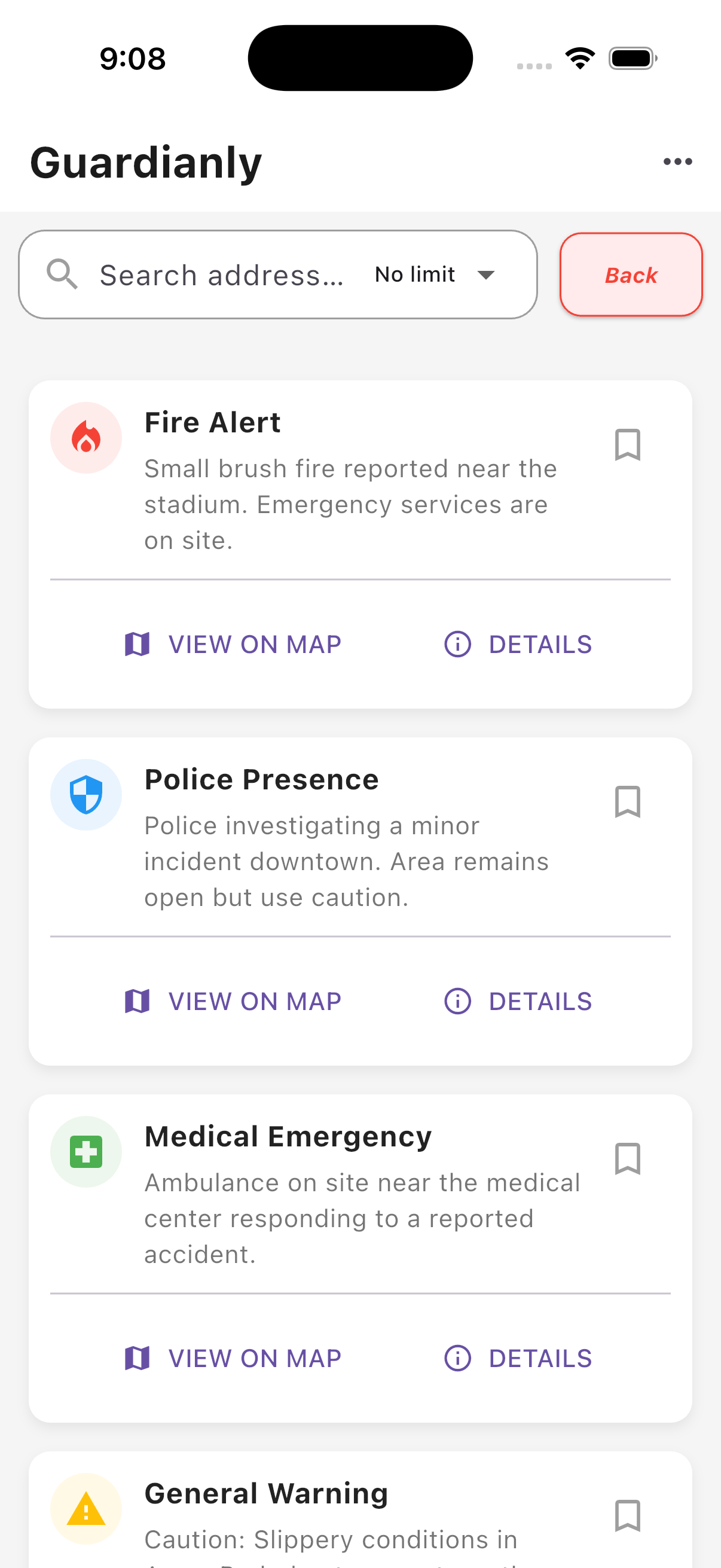
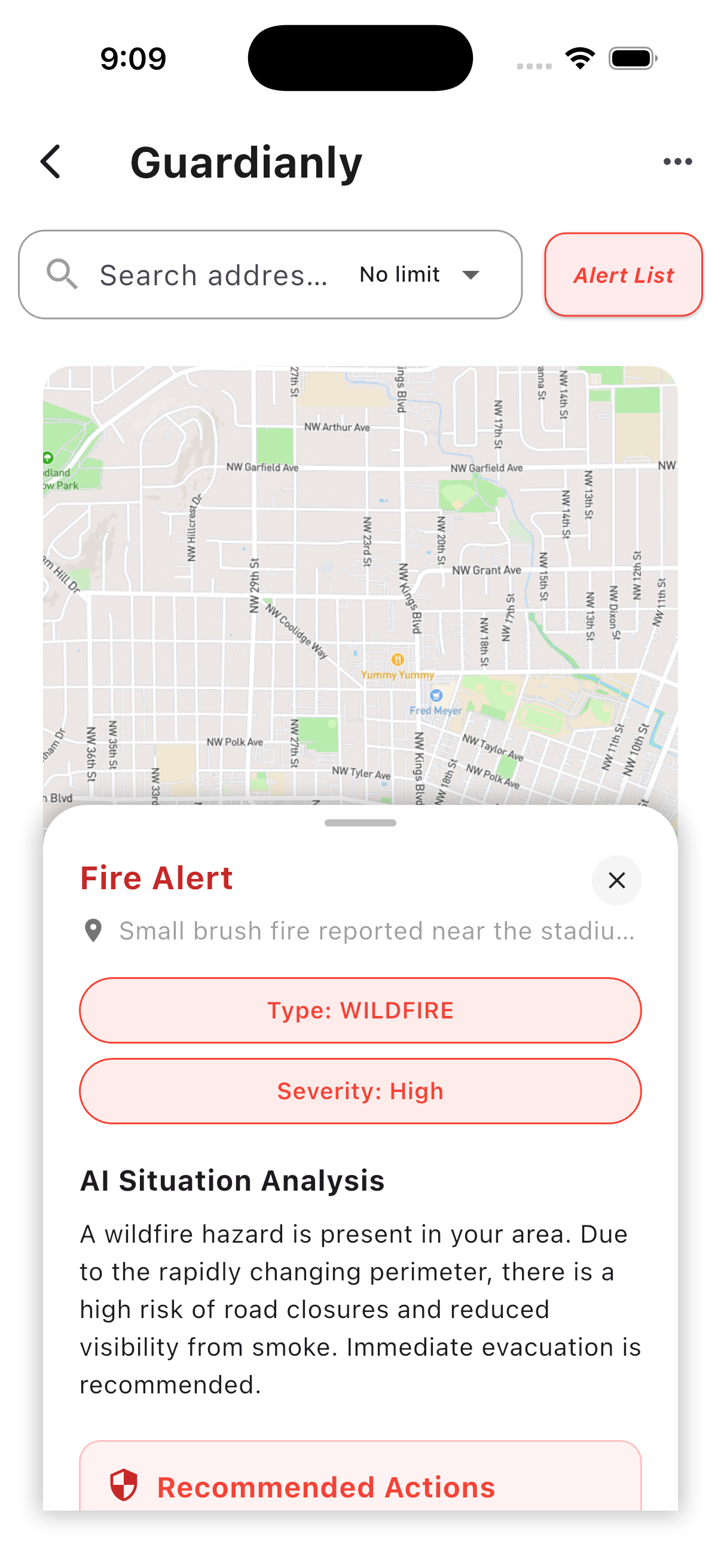
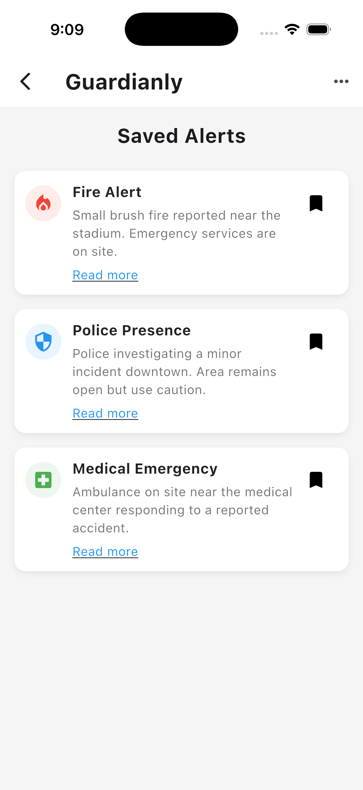
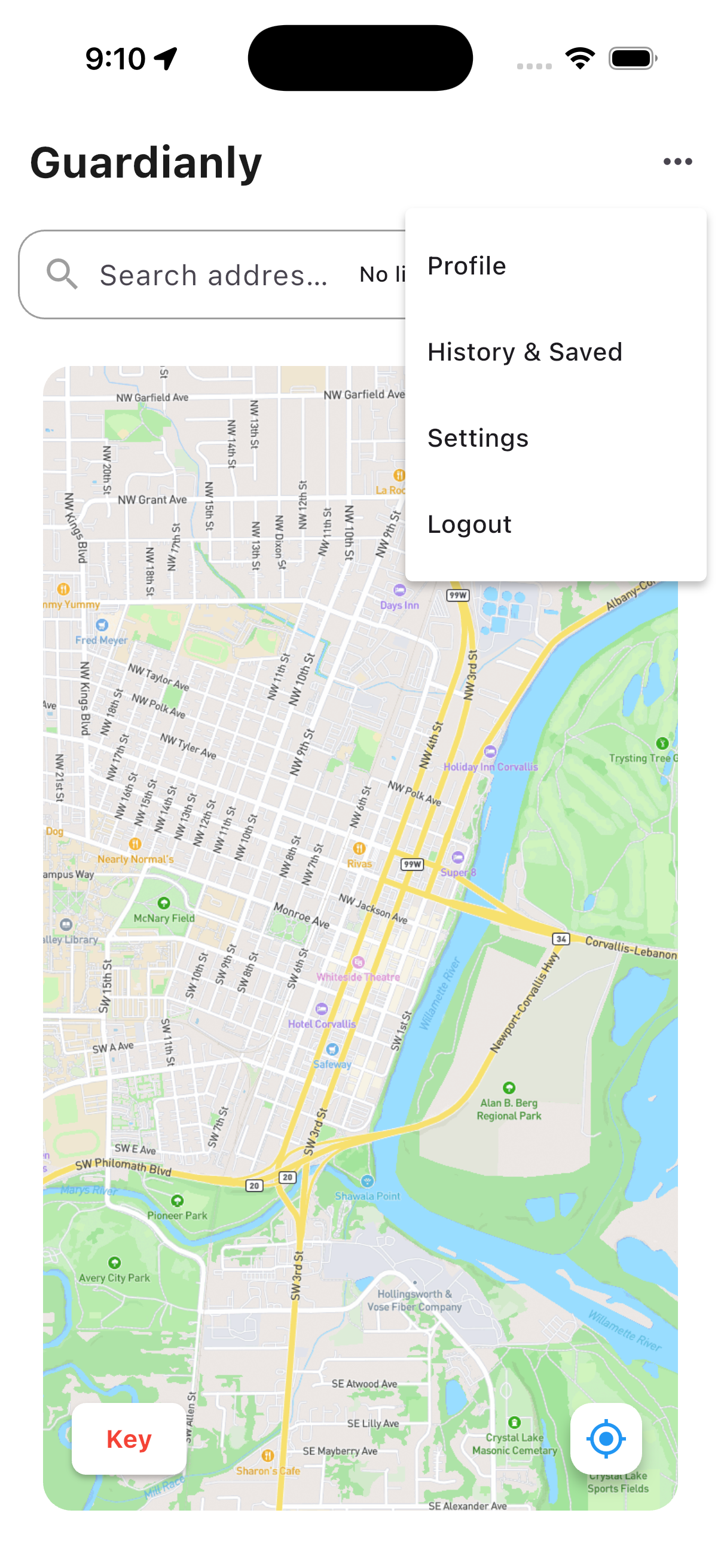
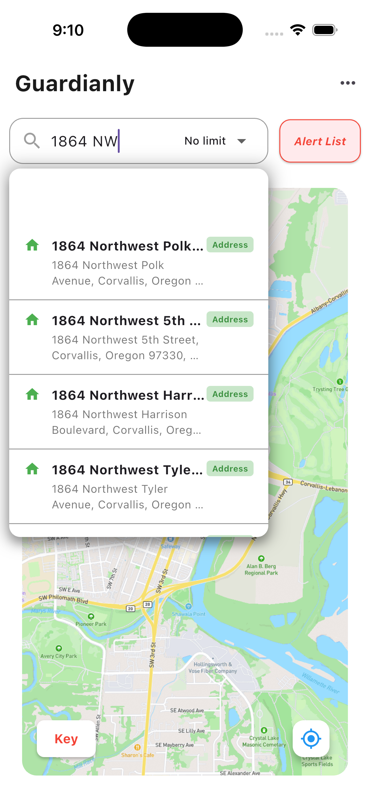
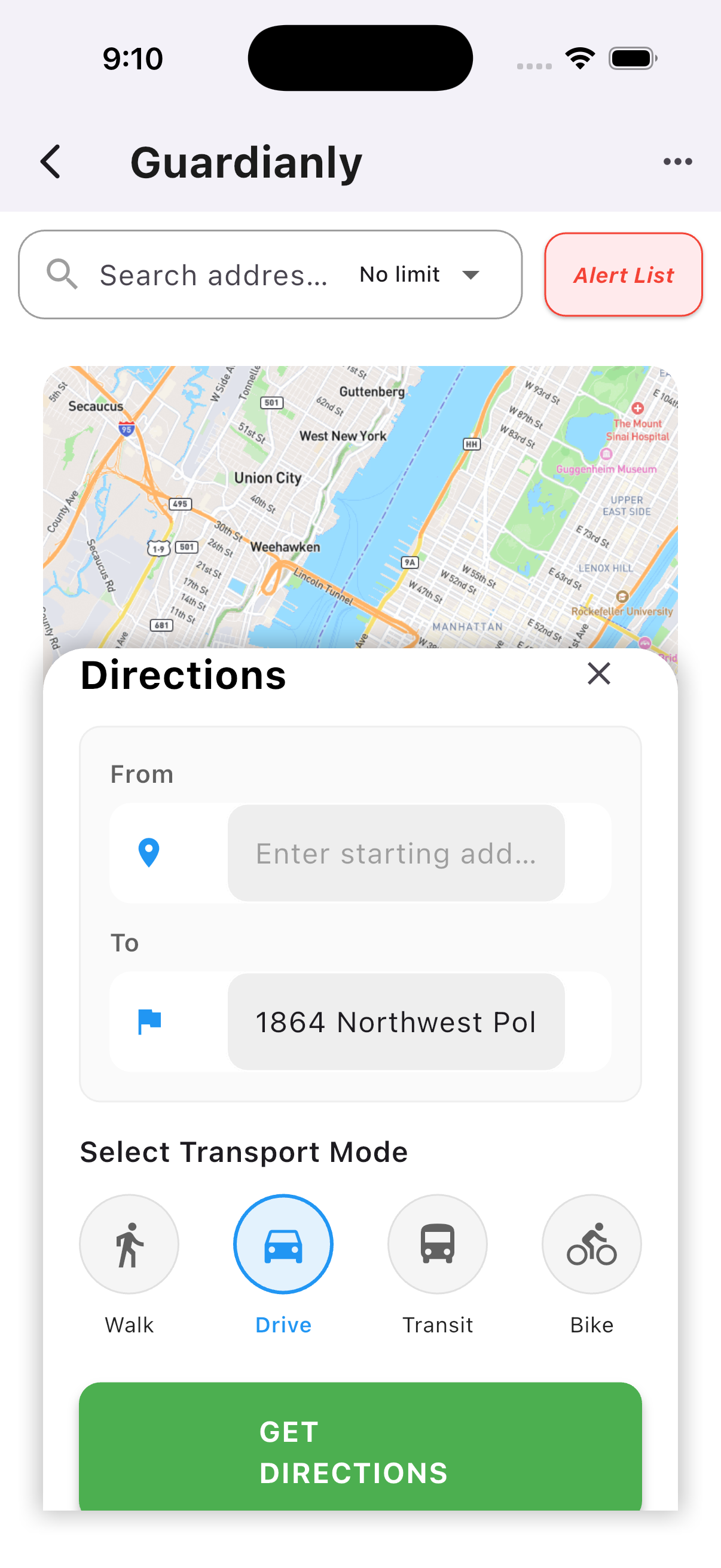
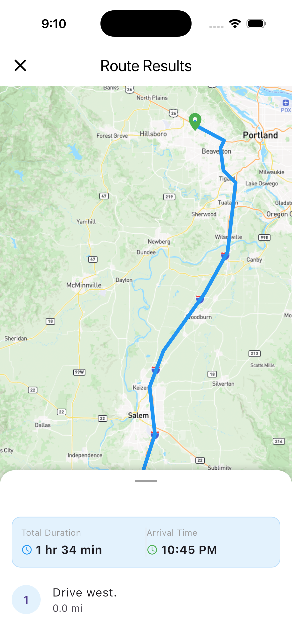
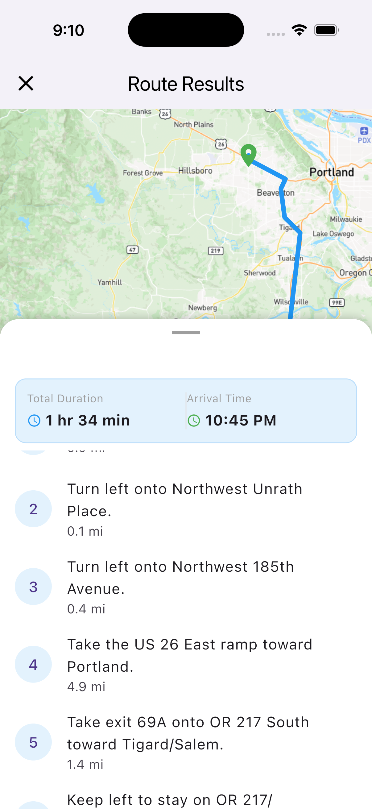
Guardianly in action - Real-time safety alerts and navigation

Most tools prioritize speed and efficiency over user safety.

⚠️ Why this matters: Current navigation systems lack real-time integration of dynamic risk factors, leaving users vulnerable to rapidly changing conditions. Individuals are forced to rely on fragmented sources of information such as news reports, social media, or delayed alerts, which are often incomplete or outdated. This gap presents a critical issue: there is no centralized, user-friendly platform that actively guides individuals away from danger while adapting to real time environmental conditions. As a result, users face unnecessary exposure to preventable risks during everyday travel.

Guardianly closes this gap by combining live hazard data with your real-time location and preferences — so you get actionable advice, not just noise.

See the difference for yourself

Typical Safety App
Generic alerts for everyone
Reacts after danger occurs
No solution for personal safety
One-size-fits-all warnings
Guardianly
Differentiated icons for certain hazards
Predictive — alerts you before danger
Safer alternate routes in real time
AI-powered, context-aware guidance

Key Features ✨ Hover any screenshot to learn more

Each screenshot reveals its feature — just hover to see details

← Drag or scroll to explore →
Map View
Interactive Map
🗺️

Interactive Map

Real-time hazard visualization on an interactive map. See nearby incidents, police activity, and emergency situations instantly.

Real-time • Visual • Accurate
Map Legend
Color-Coded Legend
🎨

Color-Coded Hazards

Easy-to-understand color coding for different hazard types: Fire (Red), Police (Blue), Medical (Green), Warnings (Yellow).

Visual • Intuitive • Clear
Alert Details
Alert Details
🚨

Detailed Alerts

Comprehensive alert information including type, severity, location, and recommended actions. View on map or get more details.

Detailed • Actionable • Clear
AI Analysis
AI Analysis
🤖

AI-Powered Analysis

Smart AI analyzes threats and provides intelligent, context-aware recommendations. Get personalized safety guidance based on real-time data.

Smart • Predictive • Adaptive
Directions
Smart Navigation
🧭

Smart Navigation

Get turn-by-turn directions with multiple transport modes: Walk, Drive, Transit, or Bike.

Multi-modal • Safe Routes • Real-time
Route Results
Route Planning
📍

Route Planning

View detailed route results with duration and arrival time.

Efficient • Clear • Detailed
Turn by Turn
Turn by Turn
🚗

Step-by-Step Directions

Follow precise turn-by-turn instructions with distance tracking. Never miss a turn with clear, easy-to-follow guidance.

Precise • Reliable • Easy

💡 Tip: Drag horizontally with your mouse, use the scrollbar, or click the buttons above to see all 12+ features

Meet the Team

Anthony Silva

Anthony Silva

Project Lead & Developer

GitHub
Devin Shook

Devin Shook

UX/UI & Backend

GitHub
Feifei Huang

Feifei Huang

UX/UI & Frontend

GitHub

Get in Touch